GEOGRAPHIC LOCATIONS
of plants that were used in the study
The highlighted circles shown on the map are the main collection sites visited throughout the project. In each highlighted area is where plants identified with ethnomedicinal value and the underutilized crops are located. Clicking on each circle will reveal the plants collected in that area.
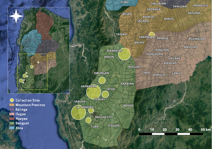
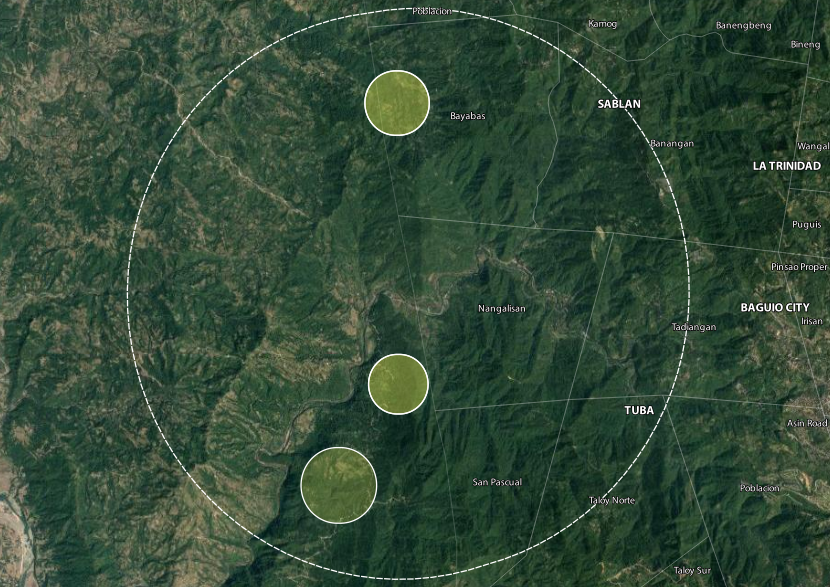
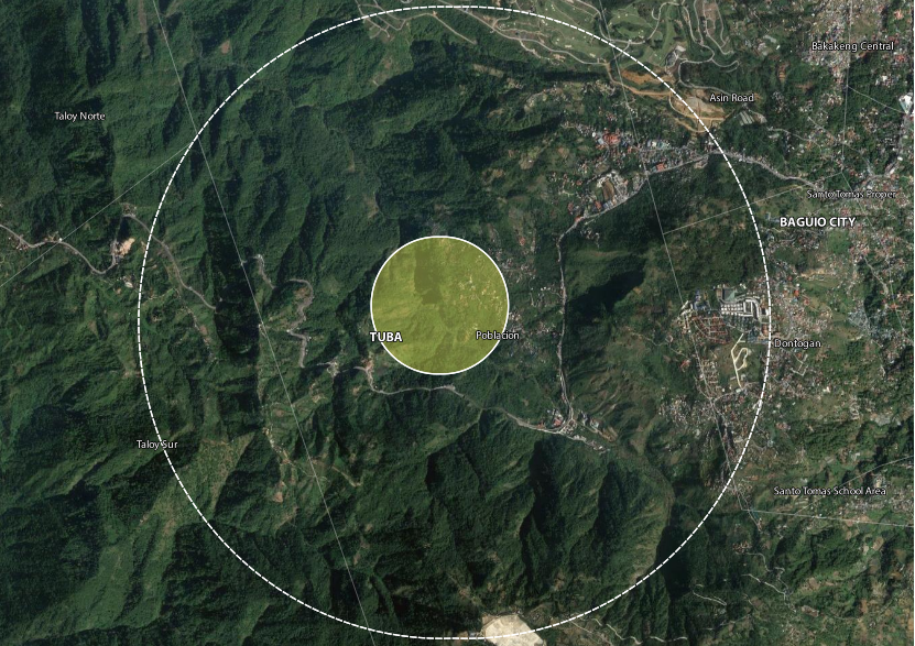
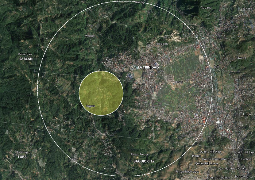
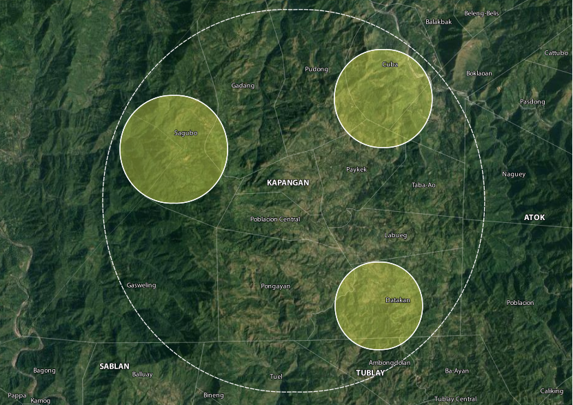
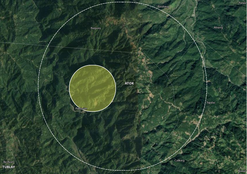
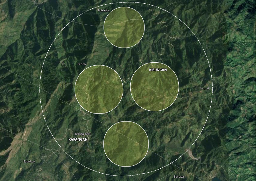
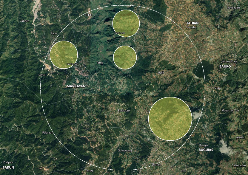
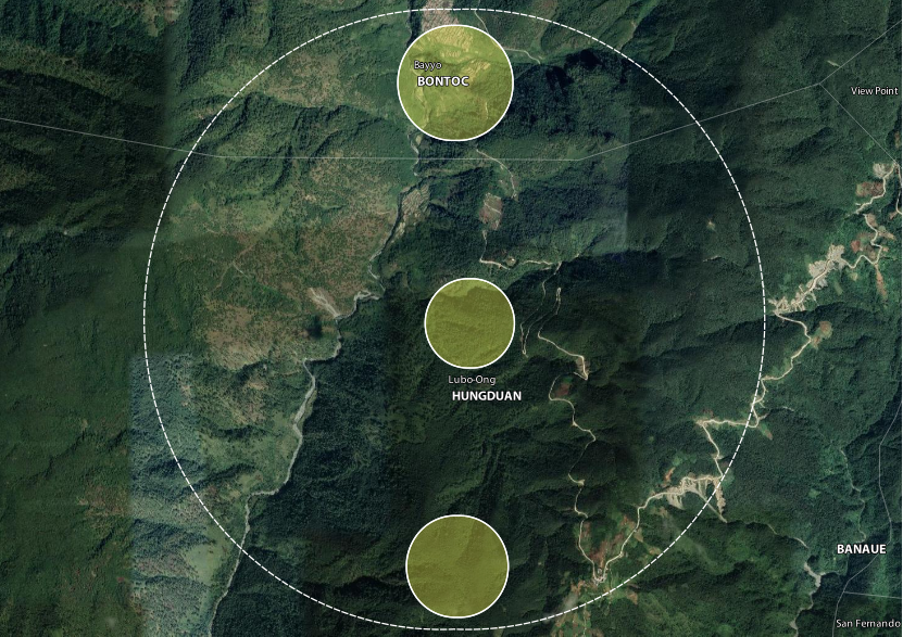
Click on a highlighted region.